General News
9 September, 2020
Mapping our local trees
Feel like branching out into citizen science?
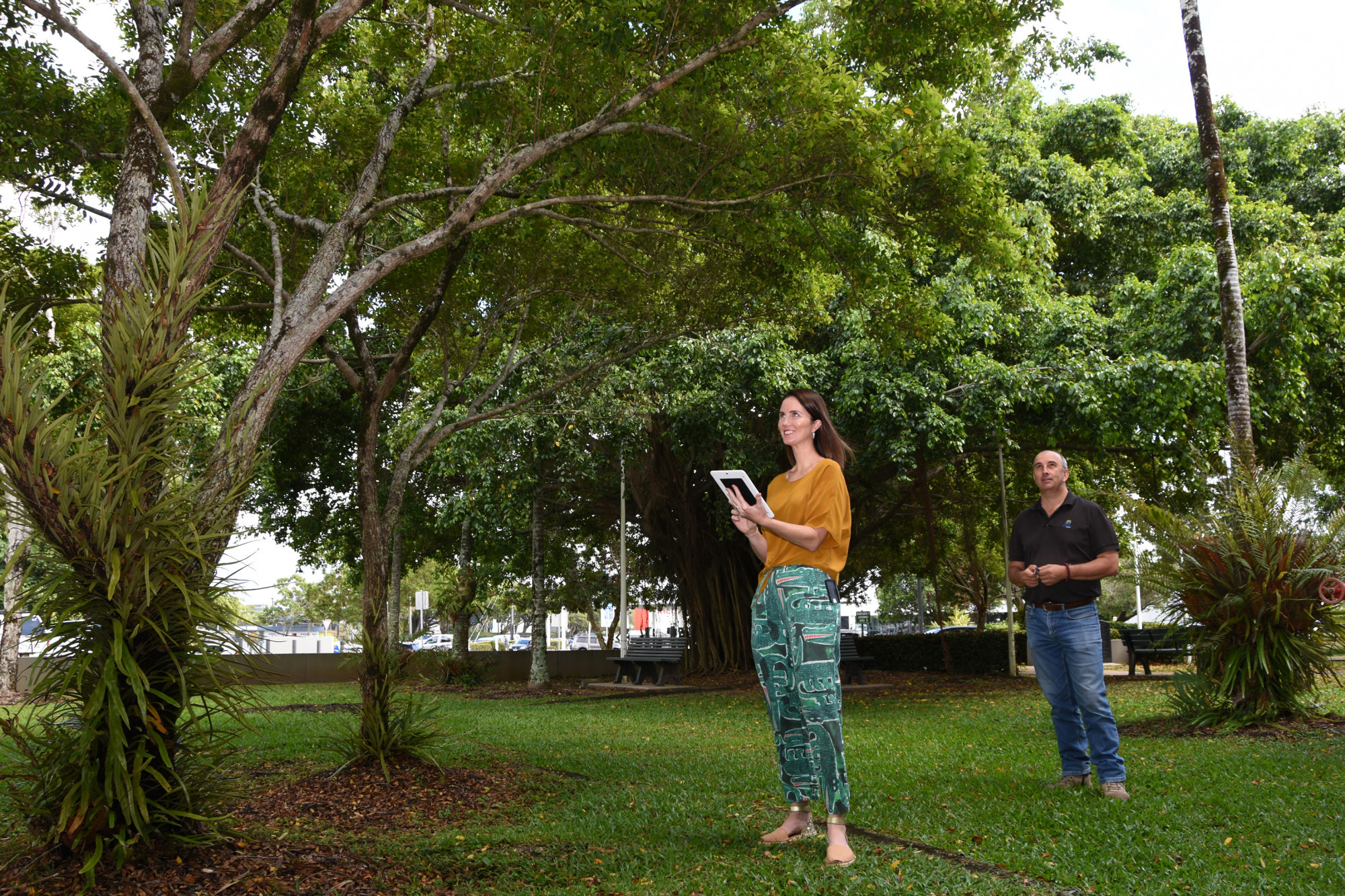
Council will soon be inviting residents to help plot trees in the Cairns region as part of the activation of a new, interactive online mapping tool for street and park trees.
More than 32,000 trees have already been logged in an online database called TreePlotter by Council’s arborists, volunteers and contractors.
Once live, Cairns people will be able to use TreePlotter to log the location, species and condition of trees on Council-managed land.
It is the most comprehensive tree-cataloguing system ever used in the region and Council aims to eventually mark in all street and park trees on Council land – a project that Cairns Mayor Bob Manning said could take the next two decades to complete.
“This a is long term project that will help Council manage one of its most important assets – our trees,” Cr Manning said.
“A number of other local government associations in Australia have undertaken similar cataloguing systems, but none with as many trees as us.
“Cairns has the largest Urban Forest in Queensland, with estimates that there could well over 500,000 trees on land currently managed by Council.”
“With the enormity of the task at hand, mapping anywhere from 500,000 to a 1 million trees, Council is concentrating its efforts on initially cataloguing areas deemed of higher significance.”
The database can provide a record of the tree’s location, species, dimensions, condition, management options, calculation of eco-benefits and even a valuation of the asset.
It will also assist in identifying and documenting trees of significance and cultural value and facilitate the engagement of residents in the process.
“This database will be a valuable tool for Council in managing trees, help with planning and development, as well as give residents and visitors the chance to easily locate trees on our website to find out more details about those trees,” Cr Manning said.
Council presently uses a number of methods to update and add new records to the database through:
Council arborists
Council crews recording trees and maintenance works as part of normal day works,
Arboricultural contractors and horticultural contractors attending to tree related CRMs and planting new streetscapes
Consulting botanists/ecologists providing updates
Council started development of a tree database seven years ago but has now transferred that accumulated data onto a web-based system, which provides increased functionality, including the ability of the public to be involved in mapping trees.
Council is also working towards making aspects of the database available to the public and also allow for additional information to be uploaded through crowdsourcing.
“Through the crowd-sourcing function, interested people and groups will be able to provide updated information on exiting trees and also register additional trees; all of which will add immensely to the value of the database,” Cr Manning said.
